Aces_Over_Kings
Jet Boat Addict
- Messages
- 64
- Reaction score
- 42
- Points
- 117
- Boat Make
- SeaDoo
- Year
- 2010
- Boat Model
- Other
- Boat Length
- 16
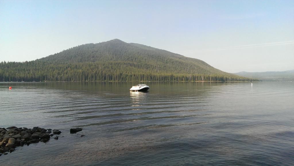
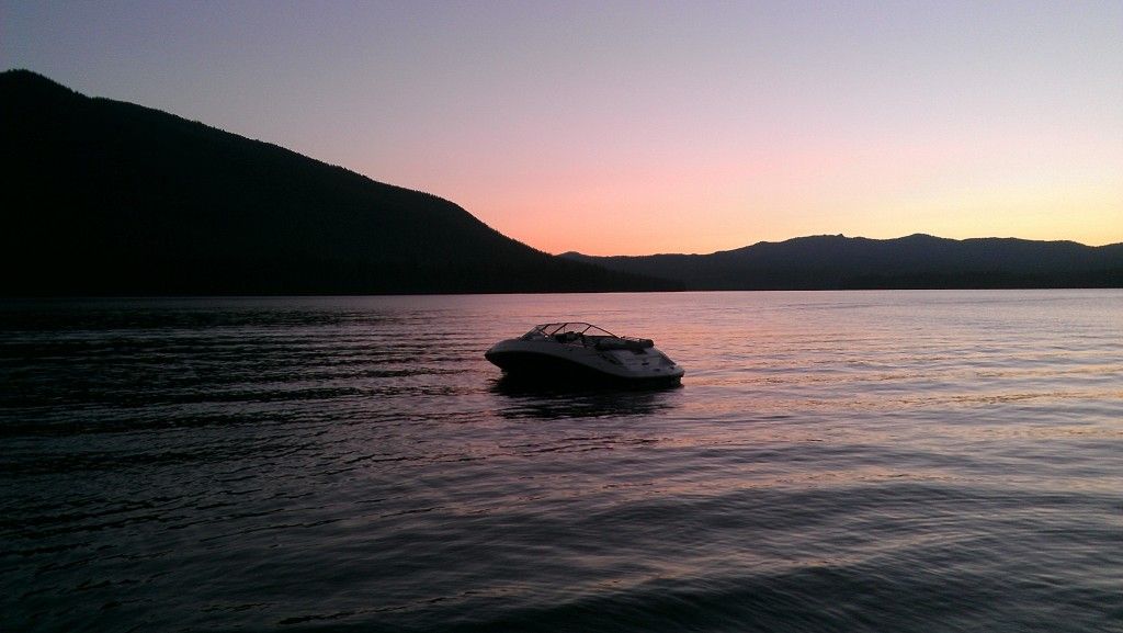
Was out on Sunday so I thought I'd share a few pics of a neat little spot, at least by local standards. I drool over the sandbar spots you all post!
The spot is called World's End in Hingham, MA in the southeastern corner of the greater Boston Harbor Islands area. Evidently it's a popular spot for "real" boaters, but is regarded as something of a sh*t show. At low tide, the center of the sheltered water is a tidal flat, so all the "real" boats stay in the channel on the periphery (depth chart below). The popularity of the spot creates congestion, and with the restricted depths, I guess it's a recipe for fouled anchor lines and other assorted boating/drinking shenanigans.
Enter the lone jetboat, smaller than some of the dinghies attached to the larger cruisers. I can sit right where they can't, plenty of space to myself.

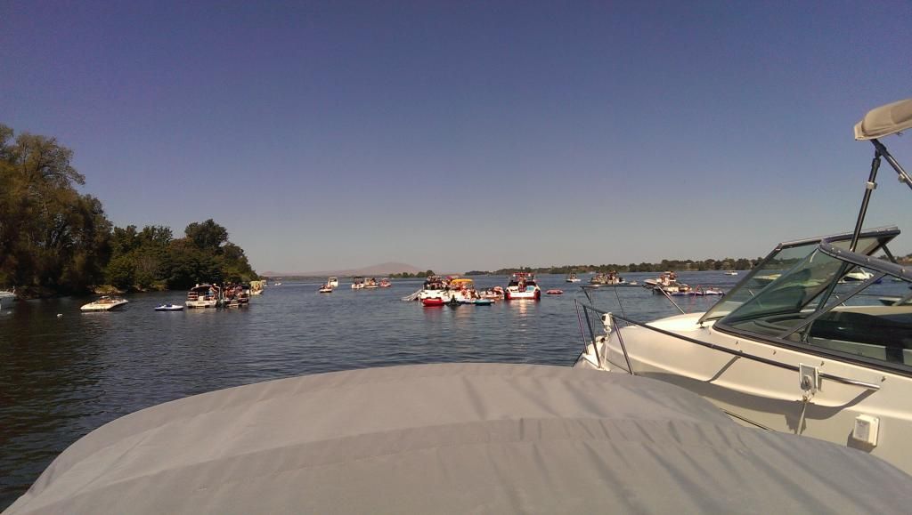
About 80 boats anchored, rafted, people swimming, jumping off swim platforms, floating around, generally having a good time.


iPhone photos from within a LifeProof case so that doesn't help the quality, but it was pretty cloudy. In Boston, we take 86° where we can get it this summer.

You can see from the size of the other boats why the Speedster 150 attracts so much... uh... attention.

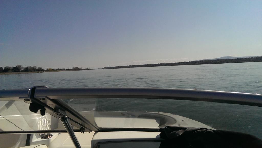
Much closer in person, the boats below are ringing the perimeter of the sheltered area/lagoon in the deeper channel. Clouds just wouldn't quit. Across the way is Hull, MA. Or, as I like to optimistically think of it -- SharkShield, MA. Makes me feel better when I'm dangling my legs off the swim deck.

And finally, the cockpit view. On top is the mount for the iPhone in its LifeProof case. Tethered to the phone itself (not in view, obviously) is a bright orange float, in case the whole mount flies off in the harbor chop. Lower right is the VHF with DSC/MMSI SOS, on a RAM mount. Lower left under the stereo is a Delorme inReach, 1st Gen satellite messenger on another RAM mount. Top right is my finger in front of the lens because I'm a dummy.

The inReach is pretty slick, although they have newer models out now. For those not familiar, it's a GPS tracker and satellite communicator. Allows you to check in at GPS coordinates and send either pre-fab texts (things like "I'm OK!" or "Send help!") or custom text messages, locations, and most importantly, trigger SAR via satellite (no cell tower required -- handy if SHTF and phone/VHF are gone, or no one on the boat knows who/how to call in an emergency. Instructions on the back -- just flip the safety, hold the SOS button, press again to confirm, help is scrambled to your location). You can also check in to social media sites while off the grid and/or people can track your tracked progress on the Delorme site if you share the link.
Small monthly fee depending on the plan and how many messages you want, covers basic SAR costs. I pay the recreational plan and pay per text message. Added bonus is that you can just as easily use it on back-country ATV, hiking, skiing, camping, etc. and for trips worldwide and off the grid. $18 a year gets you $100,000 in SAR coverage, worldwide.
It matches up with the Delorme Earthmate app for iOS (free with purchase) and acts as a basic GPS interface. You download whatever charts and maps you want to your device, and the phone and inReach work together to put you on the map and send messages. Good for orientation and tracking, not so much for navigation and waypoints.
Lastly, they worked a deal with BoatU.S. towing services so if I need a tow, you can simply text message them from the iPhone/iPad and they'll get your grid coordinates along with the text.
The inReach I have (they're way nicer now) and some shots of the app and free NOAA chart downloads:

Screenshot of the app (accuracy based off cell signal since I'm sitting in my office now, usually it's ±16ft.

Text for a tow right from the phone app (the Boat U.S. item). Pretty slick.

Anyway, hope everyone else's Labor Day was happy, healthy, and relaxing!
The spot is called World's End in Hingham, MA in the southeastern corner of the greater Boston Harbor Islands area. Evidently it's a popular spot for "real" boaters, but is regarded as something of a sh*t show. At low tide, the center of the sheltered water is a tidal flat, so all the "real" boats stay in the channel on the periphery (depth chart below). The popularity of the spot creates congestion, and with the restricted depths, I guess it's a recipe for fouled anchor lines and other assorted boating/drinking shenanigans.
Enter the lone jetboat, smaller than some of the dinghies attached to the larger cruisers. I can sit right where they can't, plenty of space to myself.

About 80 boats anchored, rafted, people swimming, jumping off swim platforms, floating around, generally having a good time.


iPhone photos from within a LifeProof case so that doesn't help the quality, but it was pretty cloudy. In Boston, we take 86° where we can get it this summer.

You can see from the size of the other boats why the Speedster 150 attracts so much... uh... attention.

Much closer in person, the boats below are ringing the perimeter of the sheltered area/lagoon in the deeper channel. Clouds just wouldn't quit. Across the way is Hull, MA. Or, as I like to optimistically think of it -- SharkShield, MA. Makes me feel better when I'm dangling my legs off the swim deck.

And finally, the cockpit view. On top is the mount for the iPhone in its LifeProof case. Tethered to the phone itself (not in view, obviously) is a bright orange float, in case the whole mount flies off in the harbor chop. Lower right is the VHF with DSC/MMSI SOS, on a RAM mount. Lower left under the stereo is a Delorme inReach, 1st Gen satellite messenger on another RAM mount. Top right is my finger in front of the lens because I'm a dummy.

The inReach is pretty slick, although they have newer models out now. For those not familiar, it's a GPS tracker and satellite communicator. Allows you to check in at GPS coordinates and send either pre-fab texts (things like "I'm OK!" or "Send help!") or custom text messages, locations, and most importantly, trigger SAR via satellite (no cell tower required -- handy if SHTF and phone/VHF are gone, or no one on the boat knows who/how to call in an emergency. Instructions on the back -- just flip the safety, hold the SOS button, press again to confirm, help is scrambled to your location). You can also check in to social media sites while off the grid and/or people can track your tracked progress on the Delorme site if you share the link.
Small monthly fee depending on the plan and how many messages you want, covers basic SAR costs. I pay the recreational plan and pay per text message. Added bonus is that you can just as easily use it on back-country ATV, hiking, skiing, camping, etc. and for trips worldwide and off the grid. $18 a year gets you $100,000 in SAR coverage, worldwide.
It matches up with the Delorme Earthmate app for iOS (free with purchase) and acts as a basic GPS interface. You download whatever charts and maps you want to your device, and the phone and inReach work together to put you on the map and send messages. Good for orientation and tracking, not so much for navigation and waypoints.
Lastly, they worked a deal with BoatU.S. towing services so if I need a tow, you can simply text message them from the iPhone/iPad and they'll get your grid coordinates along with the text.
The inReach I have (they're way nicer now) and some shots of the app and free NOAA chart downloads:

Screenshot of the app (accuracy based off cell signal since I'm sitting in my office now, usually it's ±16ft.

Text for a tow right from the phone app (the Boat U.S. item). Pretty slick.

Anyway, hope everyone else's Labor Day was happy, healthy, and relaxing!


.jpg)
